Covington, Georgia, to Rodanthe, North Carolina
Not the most conventional of Easters. I'll check the calendar more closely next time.
Our week on the Outer Banks began on Easter Sunday, before dawn, with the girls asleep in the back seat of the blue Ram.
It is a long haul to the Outer Banks, and the back seat was asleep for a good part of it. We stopped mid-morning at a Buc-ee's, which for the uninitiated is less a gas station than a small city devoted to brisket, beaver nuggets and clean bathrooms. I could not help noticing their hiring board. Restroom crew, $20 an hour. General manager, $175,000 to $225,000 and up.
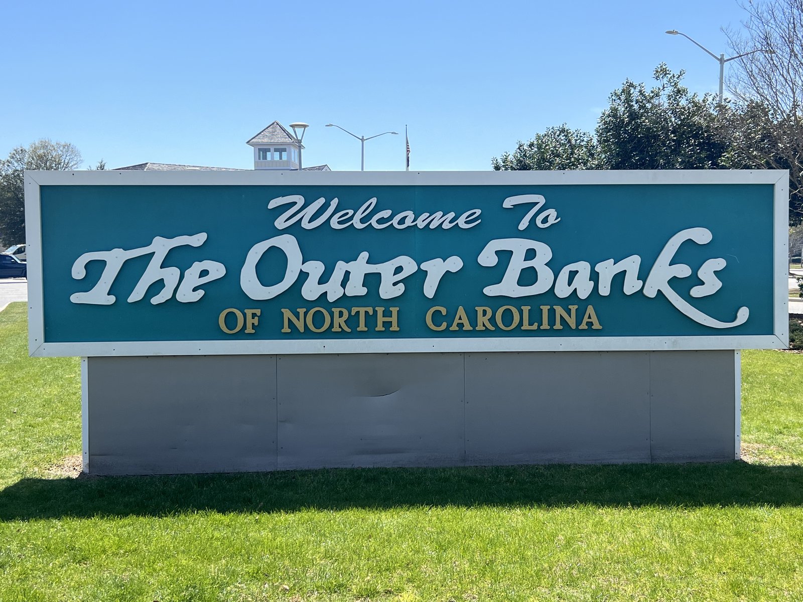
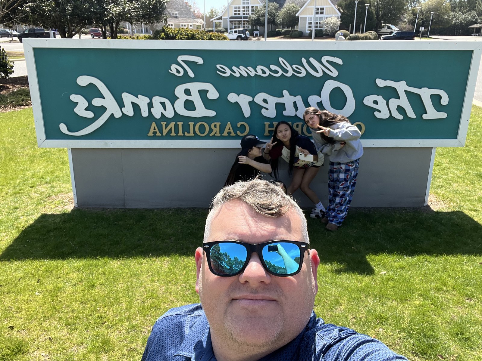
By two in the afternoon we were standing at the big teal sign that says Welcome to the Outer Banks of North Carolina, the girls jumping and posing and me holding the phone at arm's length for the obligatory family selfie.
The Outer Banks are a string, more than 175 miles long, of narrow barrier islands that bow out into the Atlantic off the coast of North Carolina, separated from the mainland by a chain of wide, shallow sounds. In places they are barely a quarter mile across, sand dunes on one side, marsh on the other, and a single two-lane road running down the middle. That road is NC Highway 12, and from Nags Head south it carried us through the dunes of Bodie Island, over the inlet, and onto Hatteras Island.
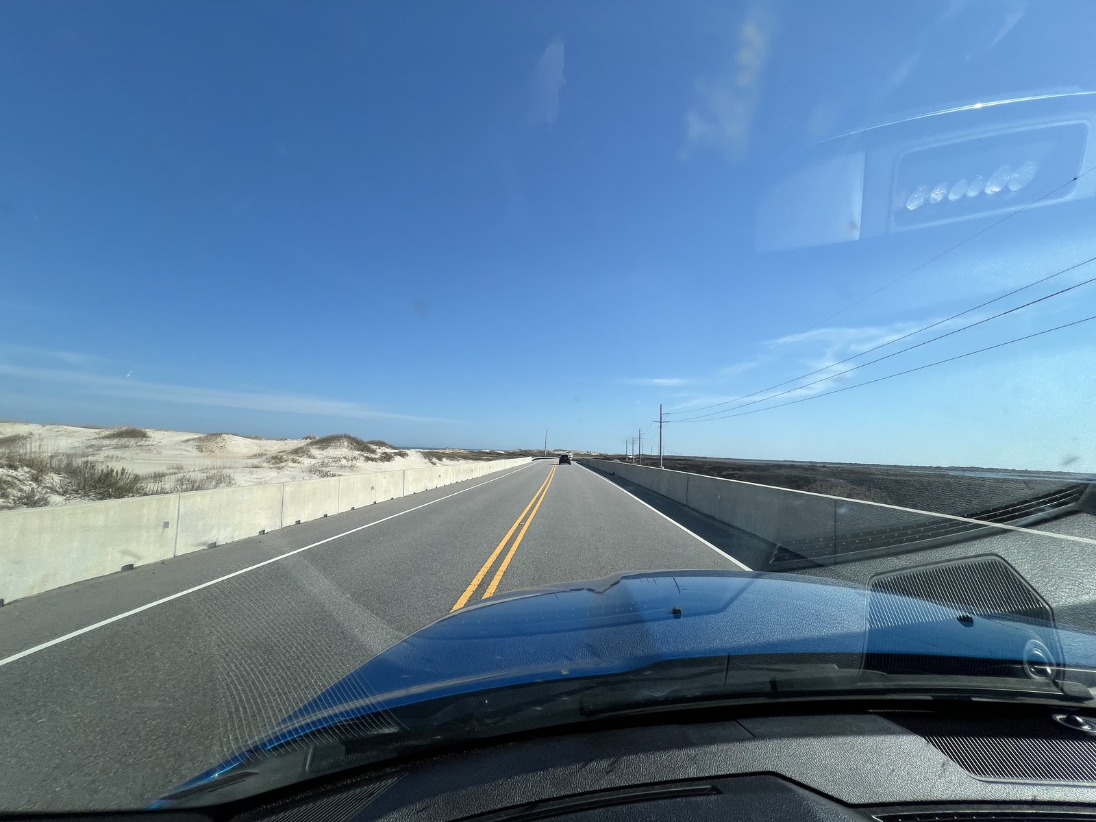
Out here the islands are always moving. Storms cut new inlets and fill old ones, the beaches migrate west, and the road gets buried in sand or washed away with every big hurricane. Offshore, the cold Labrador Current running south meets the warm Gulf Stream running north off Cape Hatteras, and the shifting sandbars of Diamond Shoals reach out for miles. Thousands of ships have wrecked along this coast over the centuries, enough that it earned the name the Graveyard of the Atlantic. In 1953 most of Hatteras Island became the Cape Hatteras National Seashore, the first national seashore in the country, which is why so much of it still looks the way it does: wild dunes, empty beaches, and very few buildings.
Rodanthe
Our home for the week was a cabin at the KOA in Rodanthe, one of three little villages, Rodanthe, Waves and Salvo, strung together on the northern end of Hatteras Island. What resulted was a slice of heaven, tucked away in the sandy stretch of Cape Hatteras. An Outer Banks not yet in full swing, several local food spots are yet to open for the season, the chain was warm, and buzzing with the promise of a healthy season.
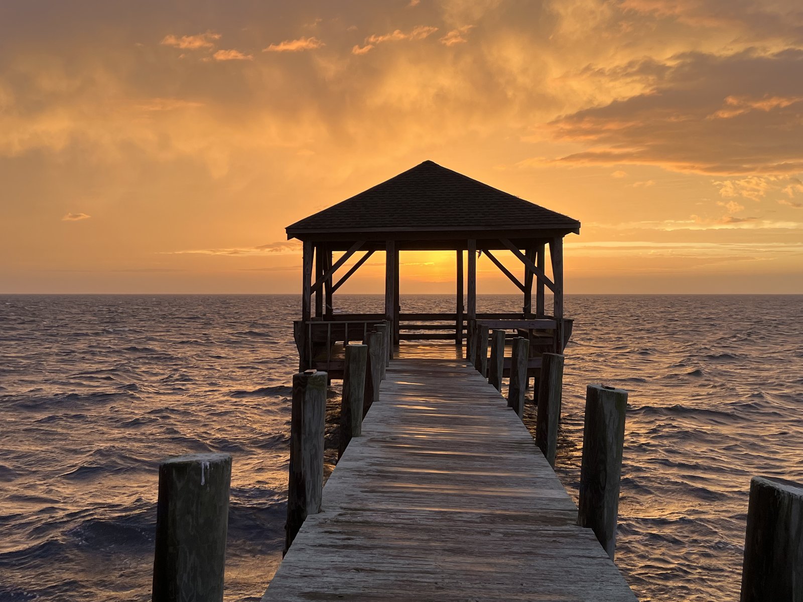
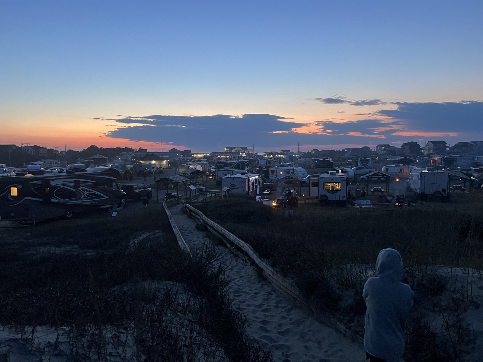
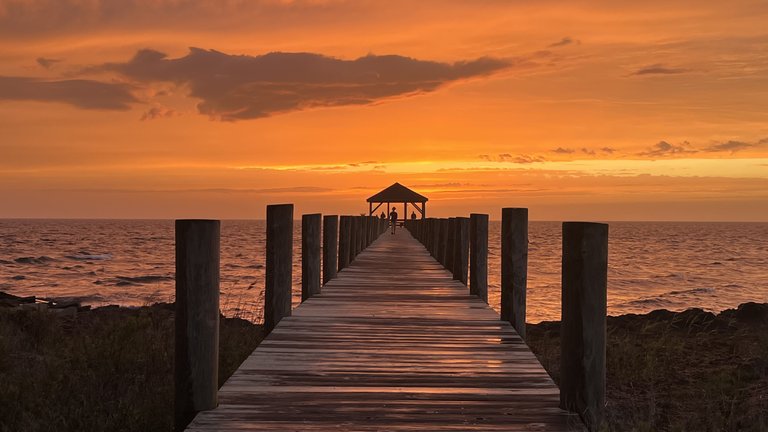
We are staying in a particularly unique spot, in that we get both sunsets and sunrises over water from our porch. The campground runs from the ocean to the sound. Walk 200 yards east over the dunes and you are on the open Atlantic. Walk the other way and you are on Pamlico Sound, with a long wooden pier reaching out over the water to a little gazebo at the end.
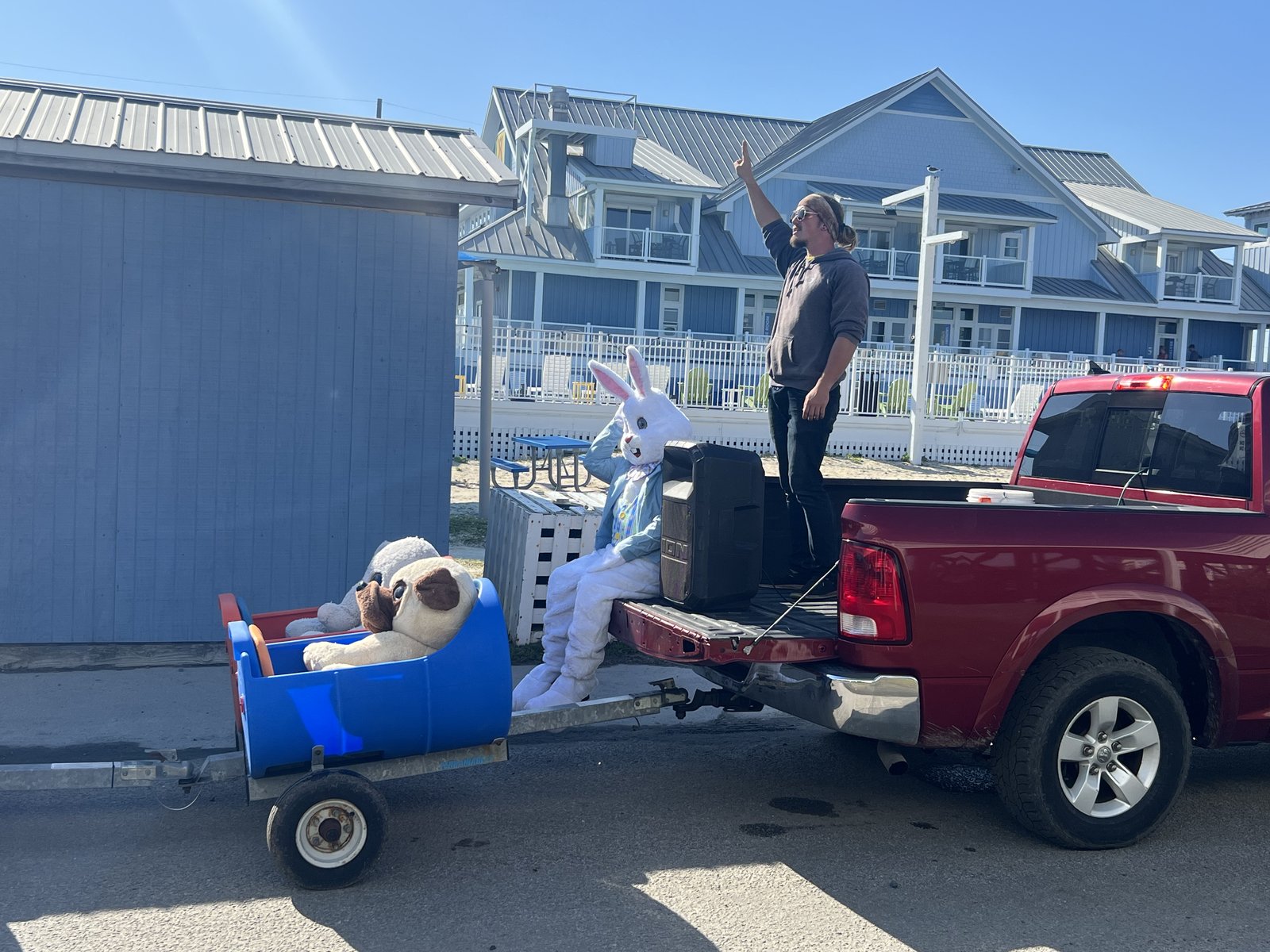
It was Easter, after all, and the campground had not forgotten. Not long after we checked in, a pickup came rolling through towing a barrel train full of children, with the Easter Bunny himself riding in the back of the truck. Easter, Outer Banks style.
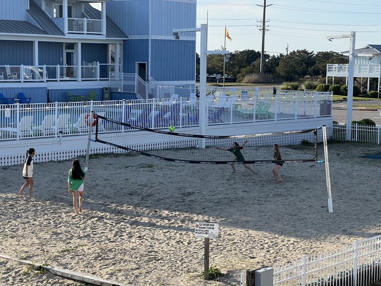
Dinner the first night was pizza from Lisa's Pizzeria, eaten on the futon in the cabin. Just as we settled in, the girls started a pickup volleyball match on the sand court by the pool.

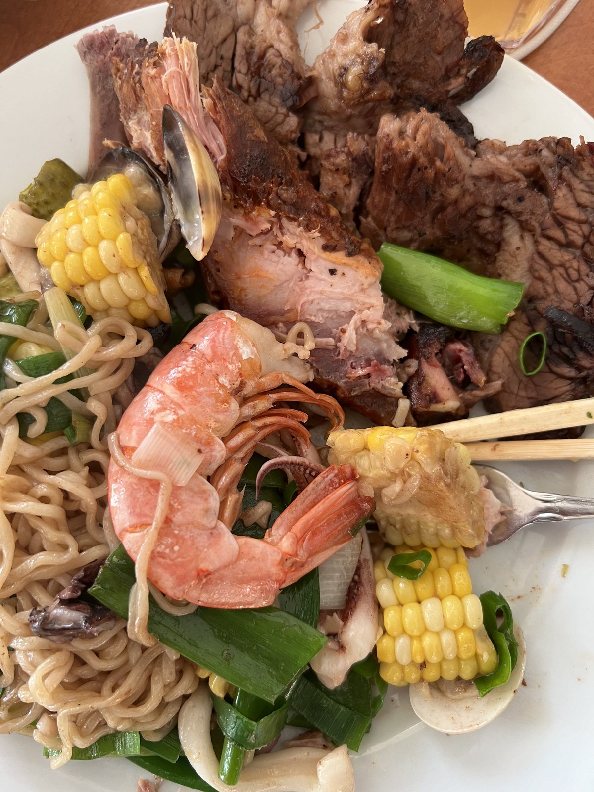
A little later came a second, quick dinner in the cabin: noodles with shrimp, corn on the cob, clams and sliced beef.
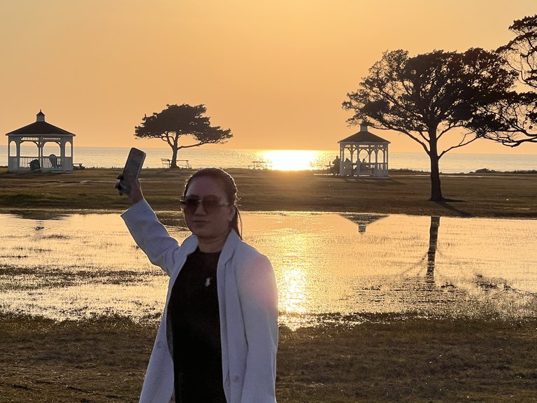
Soon it was time to catch the sun drop below the horizon of endless water. Pamlico Sound is the largest sound on the East Coast of the United States, about 80 miles long and up to 30 miles wide, and so shallow that you could wade out a long way in places before the water reached your chest. From the sound side at Rodanthe there is no land in sight to the west, just water to the horizon, which is exactly what makes the sunsets. It was beautiful, and warm, and bathed in the intense radiation of an angry sun. I'm sure we'll all have tans by noon tomorrow.
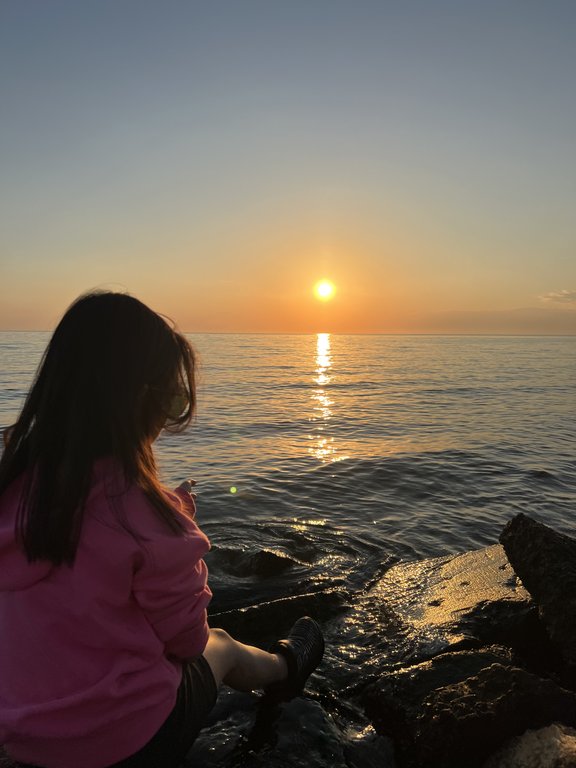
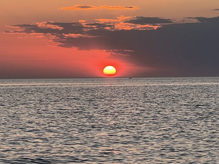
After, Lisa and I walked the same distance in the opposite direction, 200 yards, to behold the open sea. The Atlantic, cold and angry, stared back from the frozen depths.
Easter Monday
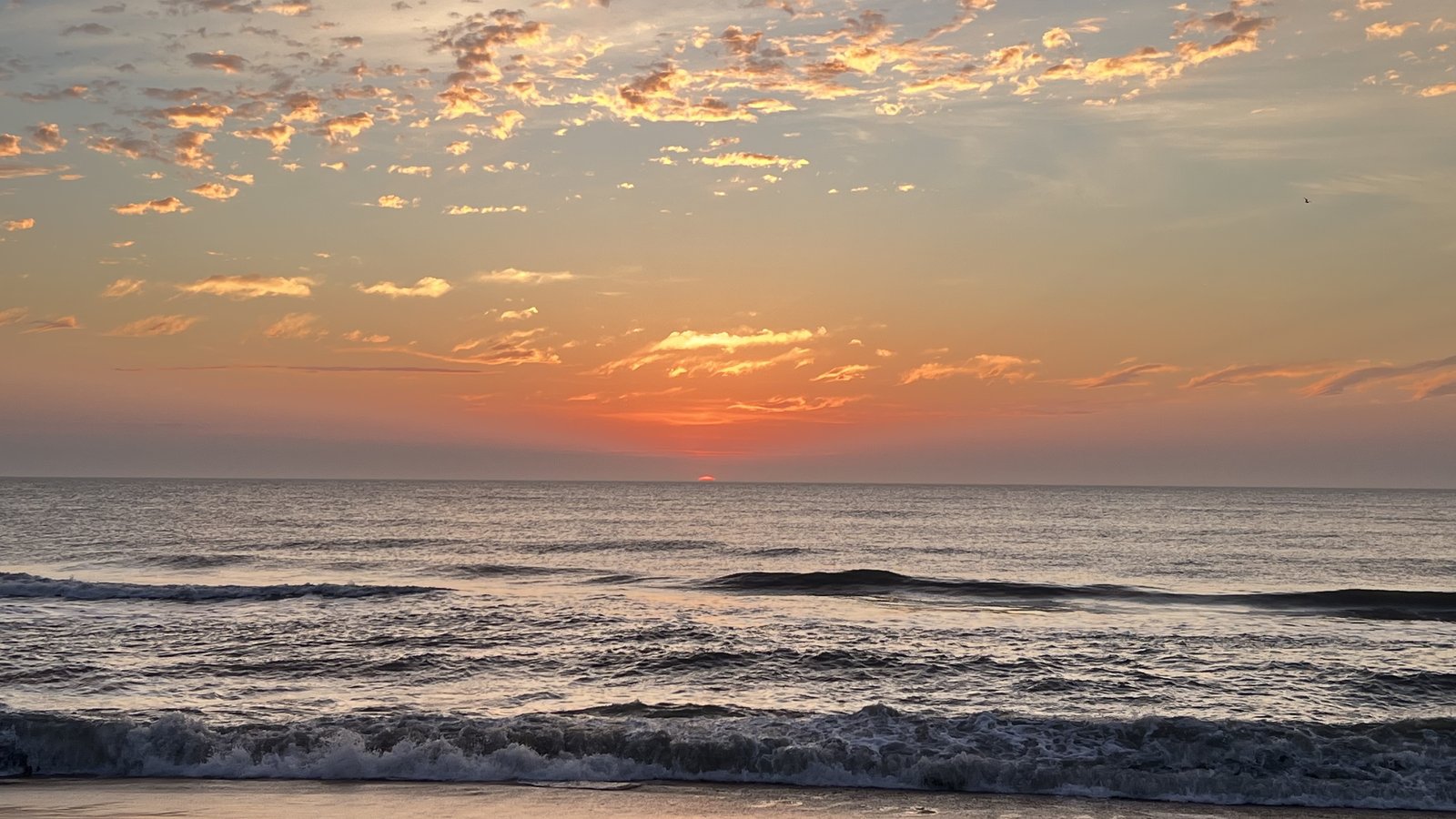
Good morning! I was out on the beach before six-thirty to catch the sun come up out of the Atlantic. The same sun that had dropped into the sound the night before came back up out of the ocean on the other side of the island. There are not many places on earth where you can do that from the same front porch.
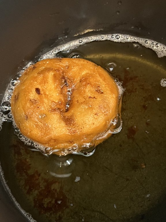
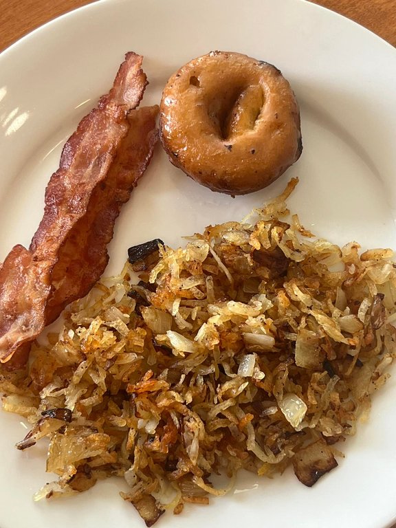
Maggie wanted cinnamon rolls, but our cabin has no oven. Improvise. The cinnamon dough went into a pot of hot oil, the glaze went into the microwave, and what came out were cinnamon doughnuts, served up with bacon and hash browns.
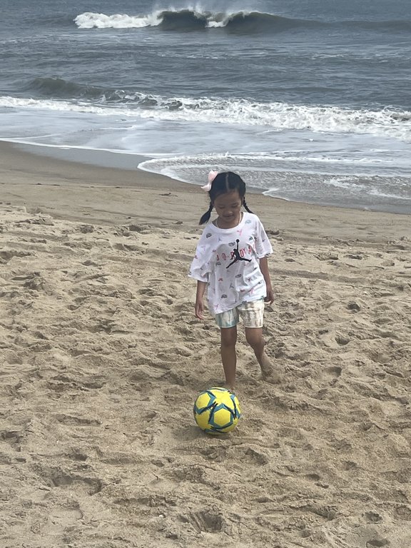
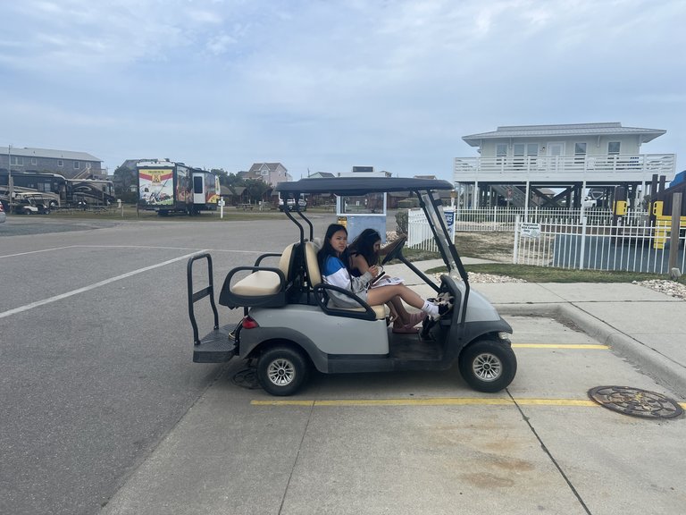
The Easter surprises came out that morning, too, bunny glasses and all, and then we spent the day the way a beach day ought to be spent: soccer in the sand, the girls driving a golf cart around the campground, and nowhere in particular to be.

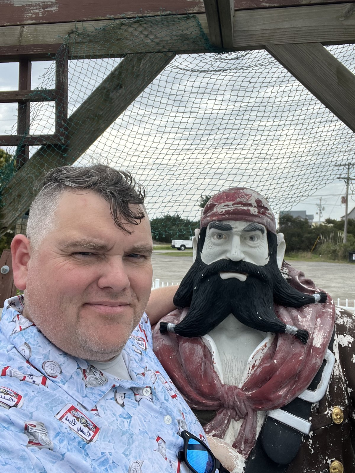
I made friends with a pirate. On the Outer Banks, this is not unusual. Blackbeard himself, Edward Teach, used these islands and their inlets as a hideout, and he met his end in 1718 at Ocracoke Inlet, about sixty miles down the islands from here, when a Royal Navy force from Virginia caught up with him. His head ended up hanging from the bowsprit of the ship that killed him. The pirates are all statues now.
Kill Devil Hills
On Tuesday we headed north up the islands. Today we learned something new, or at least I did. My entire life I was told the Wright Brothers flew the first powered flight in Kitty Hawk, North Carolina. When in fact, the first powered flight was flown in Kill Devil Hills.
In the time of the Wright Brothers, Kill Devil Hills was a collection of giant sand dunes four miles south of Kitty Hawk. Unincorporated, remote, and isolated, Kill Devil Hills offered the perfect place for Orville and Wilbur to perfect their gliders, and turn them into powered machines. Kitty Hawk was simply the nearest town with a post office and a weather station, which is where the brothers sent their famous telegram home to Dayton, and how Kitty Hawk ended up with the credit.
They chose this place on purpose. The brothers ran a bicycle shop in Dayton, Ohio, and when they went looking for somewhere to test a flying machine, they wrote to the U.S. Weather Bureau asking for a place with strong, steady winds. The Outer Banks had them, along with soft sand to land on and no one around to watch. They first came in 1900 and camped near Kitty Hawk village, then came back in 1901, 1902 and 1903, testing gliders from the slopes of the big dune, Big Kill Devil Hill, and making hundreds of glider flights in 1902 alone. The name, by the way, is often traced to the rum of the colonial days, a drink called kill-devil that was said to be strong enough to do just that, and to the barrels of it that washed ashore from wrecked ships.
For many years the brothers toiled, tinkered, and tested until, on a windy December 17, 1903, they were first successful in a race that gripped the world. Who would be the first to master flight. At 10:35 that morning, with Orville at the controls, the Wright Flyer lifted off a wooden rail on the flat ground below the hill and flew 120 feet in 12 seconds. They flew four times that day, taking turns. By the fourth flight, Wilbur stayed up for 59 seconds and covered 852 feet.
Manned flying machines would prove to be the fastest evolving technology in history. It took humans over 4,000 years to automate the production of the written word. In less than 70 years we went from the Wright Brothers' first flight to landing a man on the moon. A truly astonishing feat. When Neil Armstrong went to the moon in 1969, he carried a piece of the 1903 Flyer's wing fabric and a piece of its wooden propeller with him.
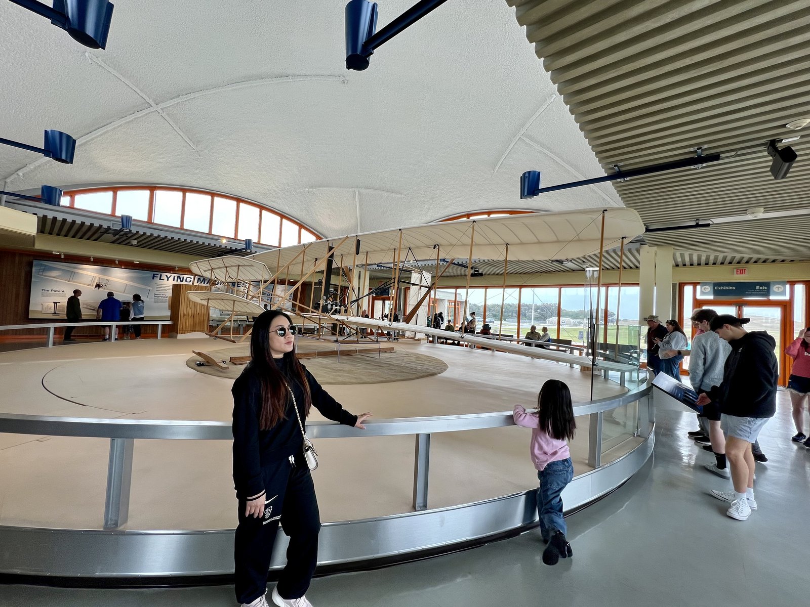
Today the giant sand dune of Kill Devil Hills has been cultivated with grasses to secure the hill from erosion, and it now supports the massive monument to Wilbur and Orville's incredible achievements. The dune was slowly drifting until it was planted in the late 1920s, and the 60-foot granite monument on top was dedicated in 1932. Accompanied by a well curated museum and walking trail, the national memorial is an impressive homage to the dawn of aviation. On the flat below the hill, a granite boulder marks where all four flights took off, and numbered markers show where each one landed. You can walk the distance of every one of them.
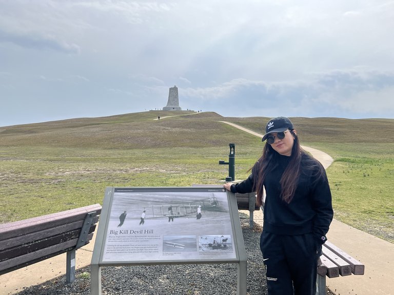
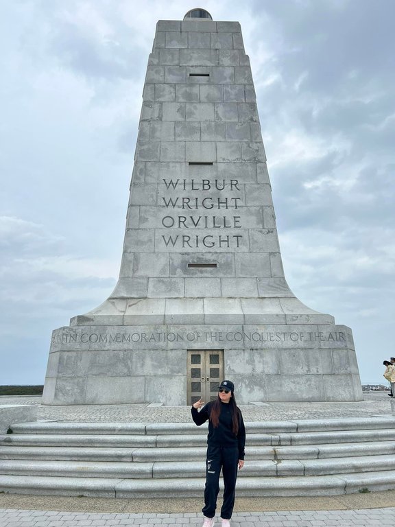
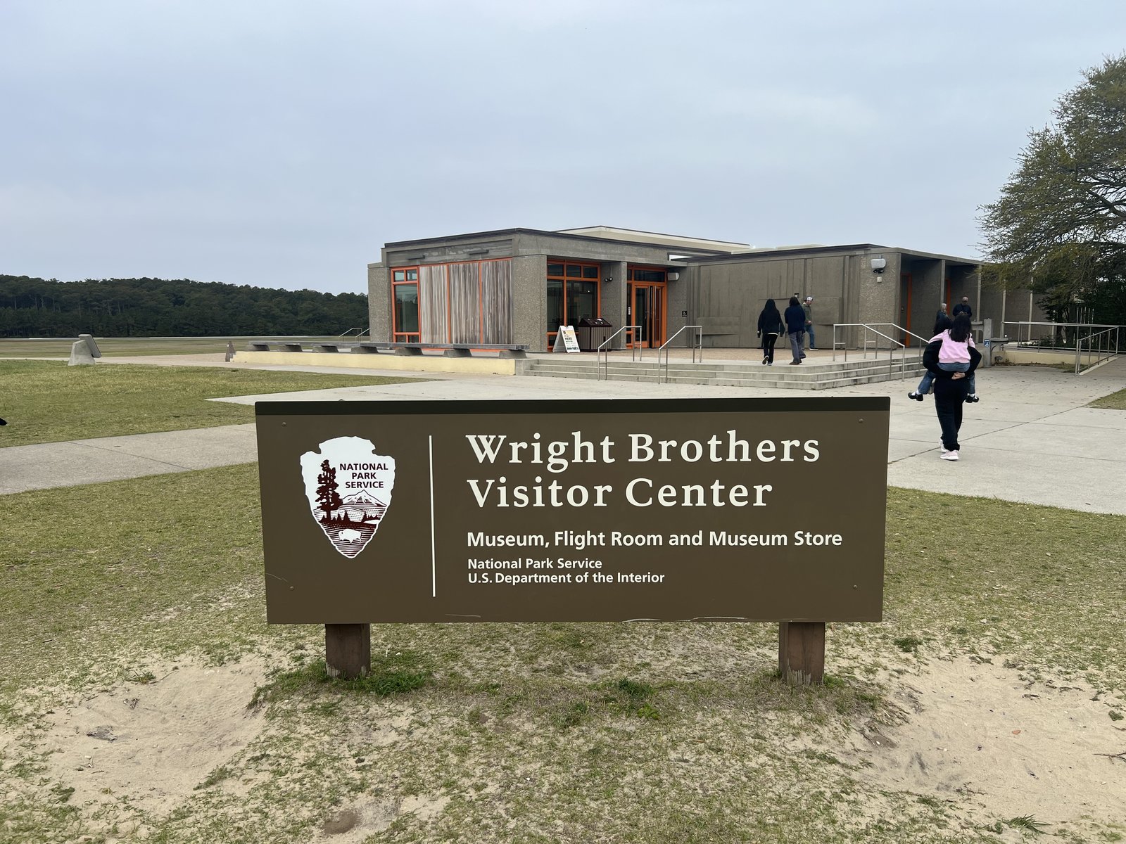
Using our America the Beautiful pass to make our 25th national park, memorial or monument in the past year, we caught a demonstration of a replica of the Wright Brothers' plane, and walked the expansive monument. The girls had their own lesson in the museum about the first try.
Carova and the Wild Horses
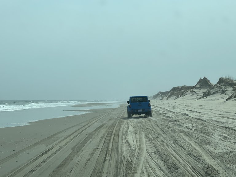
After the Wright Brothers Memorial, we drove as far north as we could on Highway 12. Eventually the paved road ends. Four-wheel drive is required, and you air your tires down before you go. What follows is a long haul down the unpaved section of Highway 12, which is essentially the beach. For about 11 miles the beach road takes you to the small hamlet of Carova, a community accessible only by four-wheel drive or boat.
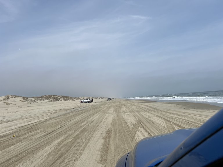
The community is so remote, it has a population of wild horses. The houses sit in lanes and alleys that crisscross the dunes. We turned off the beach road to explore the town. Within two minutes of exiting the beach, we stumbled upon a group of mares and a mustang getting their spring frolic on. The kids went crazy when they saw the horses. At one point I thought one was going to get in the truck with us.
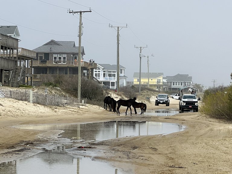
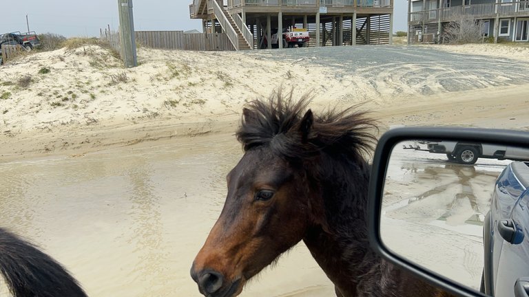
These are the Banker horses, and they have been on the Outer Banks for a very long time. The most widely held belief is that they descend from Spanish horses that came ashore with the explorers and colonists of the 1500s, either left behind or swum in from wrecked ships, and DNA tests have found Colonial Spanish ancestry in the herd. Around a hundred of them roam the beaches and dunes north of Corolla, managed by the Corolla Wild Horse Fund. They are wild in every sense, living on sea oats and marsh grass. There is a county ordinance that says you have to stay at least 50 feet away from them.
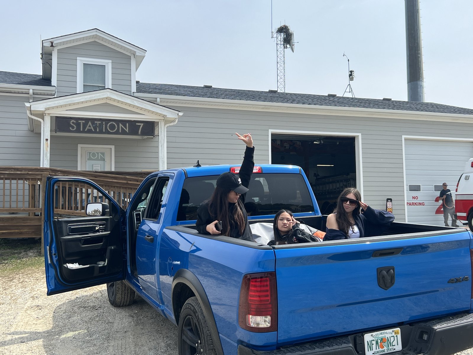
Downtown Carova contained a fire station complete with several wide open spaces to land emergency vehicles. We stopped to talk to an EMT out front who was washing his ambulance. Even all of their vehicles are four-wheel drive, and had their tire pressures lowered. His name was Jeff, and a very welcoming character. He explained briefly the unremote remoteness of the township. It was two hours by vehicle to the nearest hospital. He pointed to a small medevac chopper next to the building. "I can get to the hospital in Richmond in 18 minutes if I have to." Good to know.
From the fire department we drove up the island until the sand road ended. From there I walked into the woods to find an early American state line marker I saw on a map. I found a fence and followed it west. It was a fence marking the state line, and a border marker for a Virginia state park, False Cape State Park, on the other side. A weathered granite post stood in the pine needles, carved with the letters N.C.
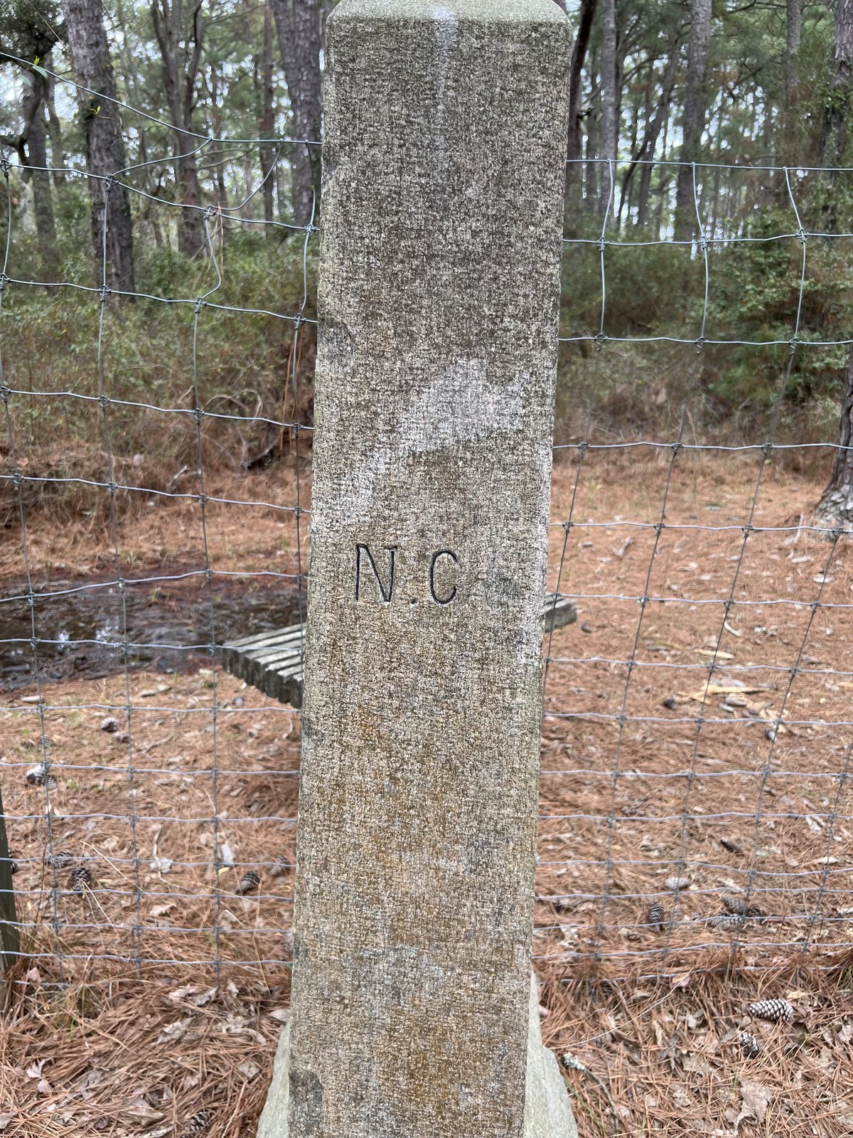
The line between North Carolina and Virginia was argued over for decades. It was finally surveyed in 1728 by a joint commission from both colonies, with William Byrd II leading the Virginia side. They started right here on the coast and ran the line west, the surveyors wading straight through the Great Dismal Swamp while Byrd and the other commissioners rode around it. Byrd later wrote a famously cranky book about the whole thing. Very cool day exploring!
Duck
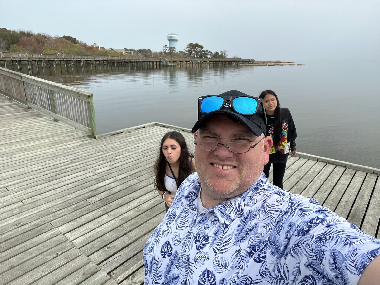
On the way back to Rodanthe, we stopped in Duck. The town has a nice boardwalk that runs out over the sound, along the water past the shops and restaurants. Duck takes its name from the waterfowl that winter on the sound, and the town didn't incorporate until 2002. We spent some time exploring the beautiful little town and doing some souvenir shopping.
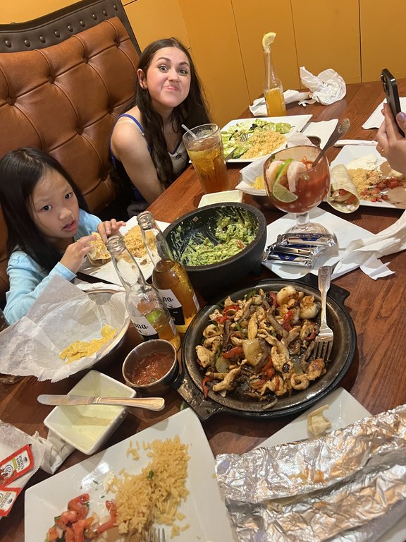
We had an early dinner at a local Mexican restaurant: sizzling fajitas, guacamole made in a stone molcajete, rice, and tortillas wrapped in foil. Then we returned to our cabin for a beautiful, but wildly windy sunset.
A Rainy Day
Wednesday came in gray and wet. On a rainy day at the beach with the girls, there is only one plan, and it involves candy and an arcade.
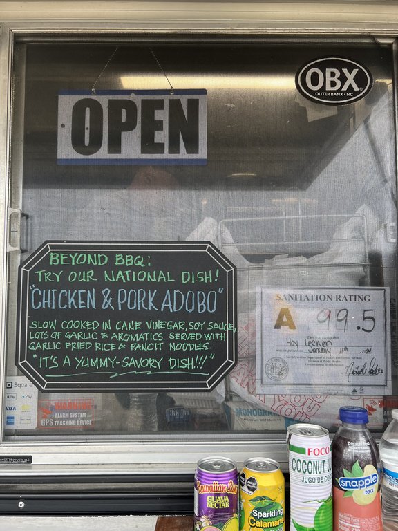
Around lunchtime we stopped at a food truck parked by the road, a Filipino barbecue truck with a chalkboard in the window: "Beyond BBQ: try our national dish! Chicken & pork adobo." Adobo is the unofficial national dish of the Philippines, meat slow cooked in cane vinegar, soy sauce, and lots of garlic, and the vinegar braise goes back to before the Spanish ever arrived in the islands. Now you will find it on a roadside on the Outer Banks.

Then the candy store, a big candy and toy shop with a pink pig in a suit, a parrot with a crown, and enough sugar to keep a school bus awake for a week. And then the arcade, where Maggie came away with a giant Mario.


One evening that week we had dinner at Miller's Seafood and Steakhouse in Kill Devil Hills. Crab cakes and fries, the catch of the day.
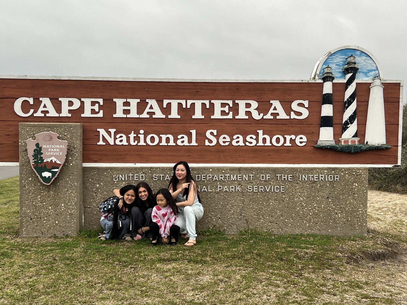
Late in the afternoon, we stopped for a family picture at the Cape Hatteras National Seashore sign.
Late in the afternoon, we stopped for a family picture at the Cape Hatteras National Seashore sign.
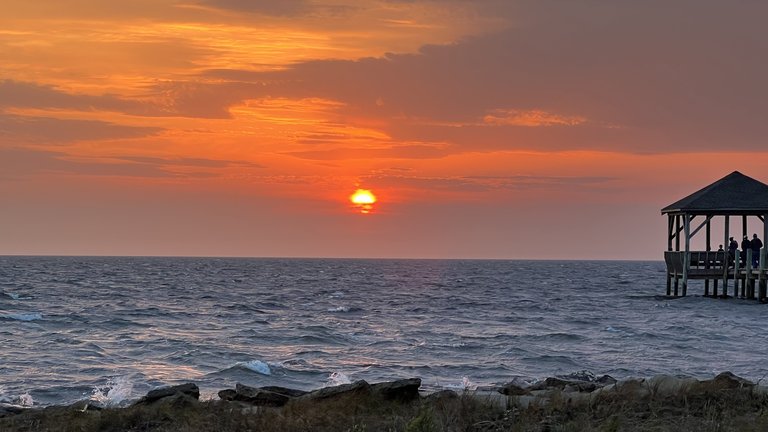
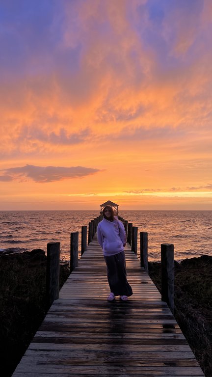
Everyone said it wouldn't happen. It had rained most of the day, and low clouds, fog and a general haze smothered the view. But I knew a setting sun can do magical things to a cloud filled sky. It proved to be the most spectacular, if not the windiest, of the sunsets we've had here in Rodanthe.
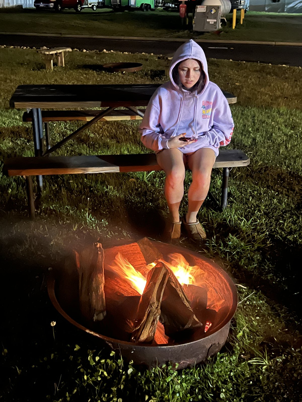
We finished the last night the way you should finish a week at the beach, around a campfire.
The Long Road Home
Thursday morning we packed up and pointed the truck north for the last time, back up Highway 12. Just north of Rodanthe we stopped at the Pea Island National Wildlife Refuge, established in 1938 to give migrating birds, snow geese and tundra swans and dozens of kinds of ducks, a place to winter between the ocean and the sound.
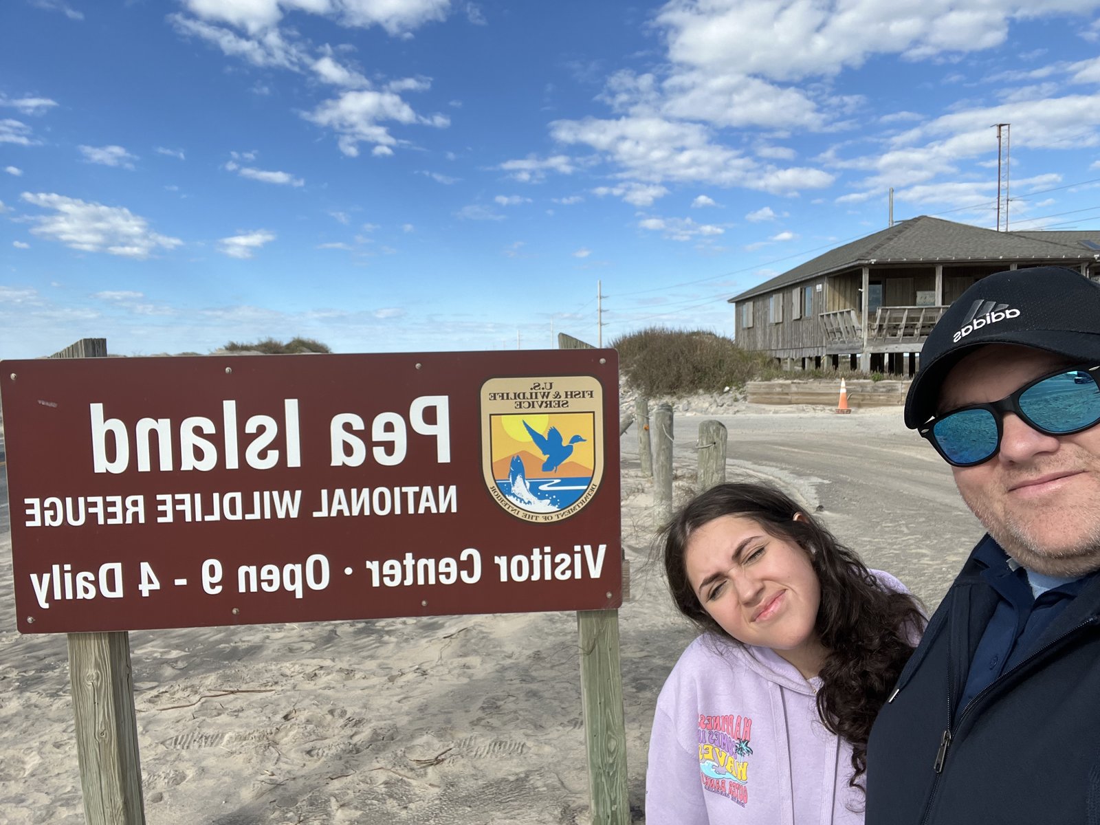
Pea Island has a human history worth knowing, too. Before there was a Coast Guard, there was the U.S. Life-Saving Service, and its stations dotted this coast every few miles to rescue the crews of ships wrecked on the shoals. In 1880 the Pea Island station became the only one in the country with an all-Black crew, under Keeper Richard Etheridge, a man born into slavery on Roanoke Island. In October 1896, in a hurricane, Etheridge and his surfmen swam a line out again and again through the surf to the wrecked schooner E.S. Newman and brought every one of the nine people aboard to shore. A century later, in 1996, the crew was finally awarded the Gold Lifesaving Medal.
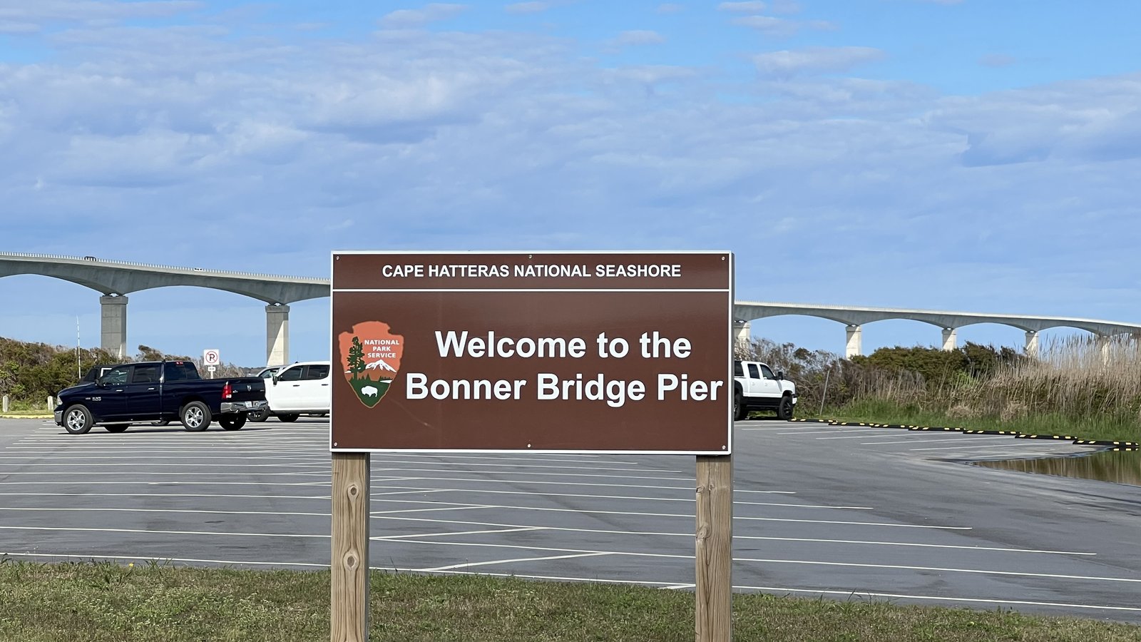
At the north end of Hatteras Island we stopped one more time at the Bonner Bridge Pier. The old Herbert C. Bonner Bridge carried Highway 12 across Oregon Inlet from 1963 until it was replaced by a new bridge in 2019, and a piece of the old bridge was left standing at the south end as a fishing pier.
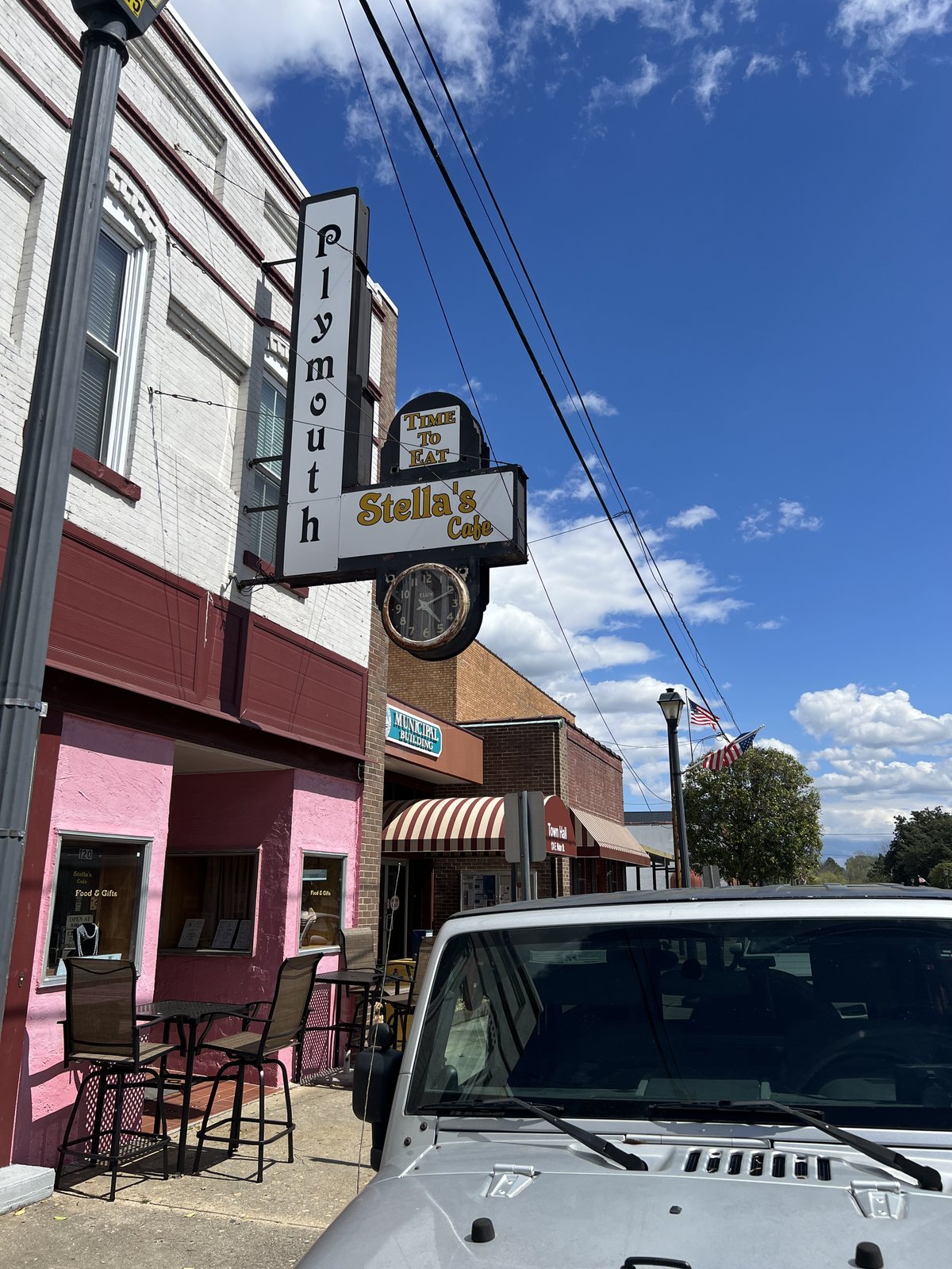
From the islands we crossed the sound past Roanoke Island and Manteo, where the English made their first attempts to settle America in the 1580s, including the Lost Colony of 1587, which had vanished by the time a relief ship returned in 1590, leaving only the word CROATOAN carved on a post, and drove west on US 64 to Plymouth, a small brick river town on the Roanoke River, for a stretch of the legs. The storefronts on the main street are painted lavender, pink and mint. During the Civil War, in 1864, the Confederate ironclad CSS Albemarle came down this river and helped retake the town.
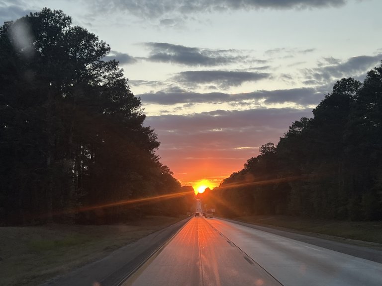
The rest of the day was highway, with one more stop for the girls to pose with a band of giant mariachi statues and Day of the Dead skeletons at a roadside souvenir stop, and a sunset straight down the road ahead of us through the pines.

Late that night, there was a bowl of noodles. The next day the Ram got the bath it had earned driving the beach. Five days, a pile of sunsets, a sunrise over the Atlantic, a rainy day, a giant Mario, and a herd of wild horses. Not the most conventional of Easters. But a good one.
Previously: Charleston in Spring - A City in Bloom