Chapter 6: On White Knuckles and Windswept Sands
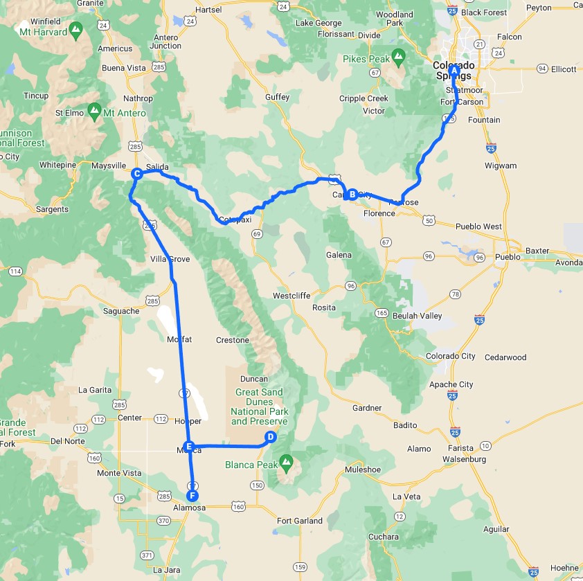
Colorado Springs, CO, to Alamosa, CO.
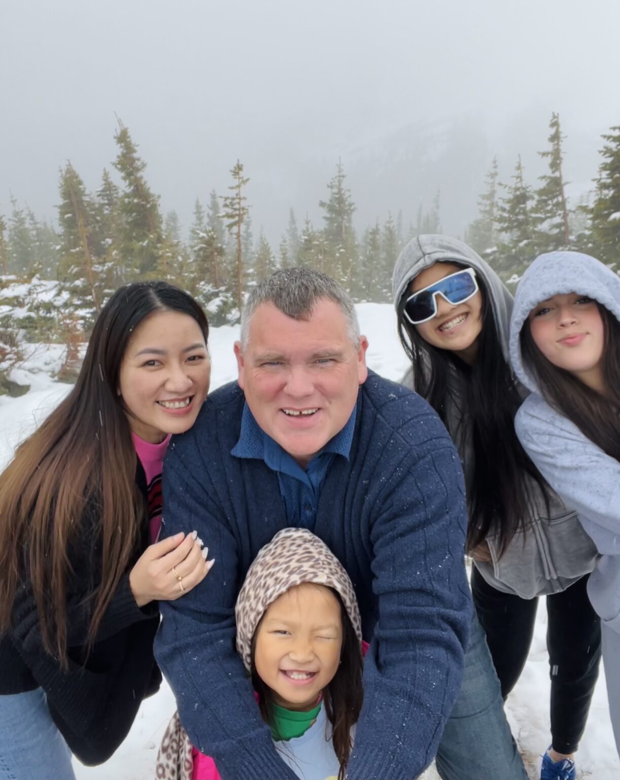
That morning the sun cast its cloud-suppressed silvery hues over the world, and we gathered around a modest breakfast table for motel scrambled eggs, mostly crispy bacon and "fresh" orange juice. The girls were still not thrilled about the early mornings on vacation and sat with a subdued excitement as we hurriedly finished breakfast. It was clear, however, that the previous day's winter adventure still had our party abuzz with the reality of what we were pursuing.
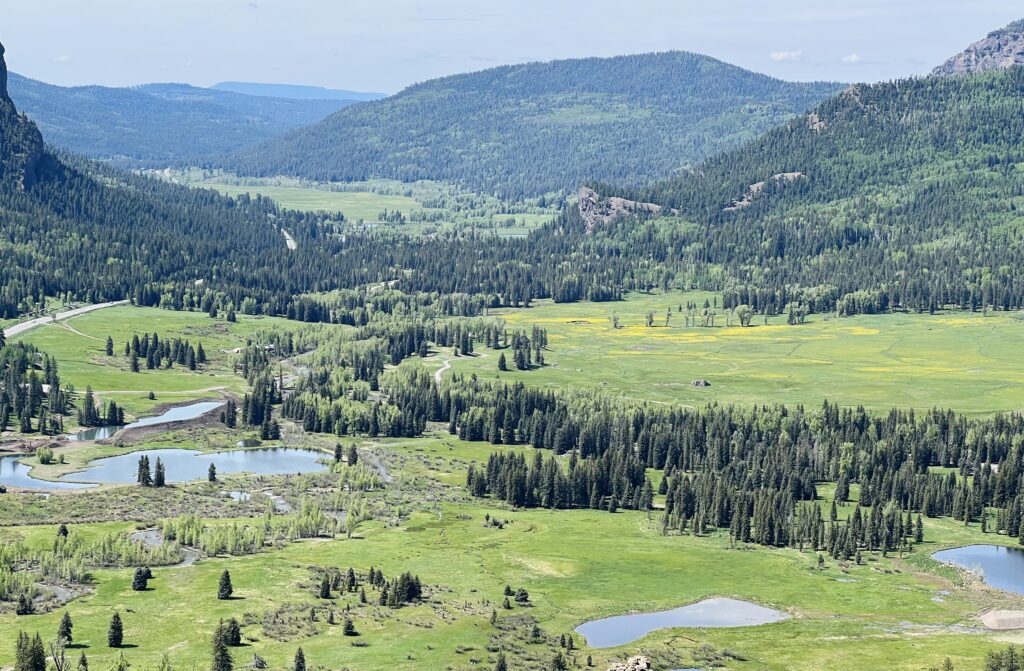
Soon we were on the road, venturing down Hwy 115 towards Penrose. The Colorado Piedmont unfolded in rolling hills of lush green peppered with wildflowers, swaying grasses and the forest green of alpine trees, and each curve revealed a new perspective.
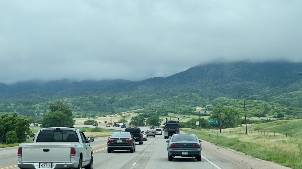
As we drove, Cheyenne Mountain State Park sprawled out on one side in greens and browns among the pines and spruces. On the other side was Beaver Creek State Wildlife Area, with streams glittering in the sunlight and underbrush rustling with unseen activity. Further on, Pike-San Isabel National Forest spread out, its expansive wilderness promising adventures on winding trails through time-worn woods and past cascading waterfalls, all waiting for some future exploration. It was a drive filled with visual appetizers, and every mile seemed to say, "Oh, if only you had the time."
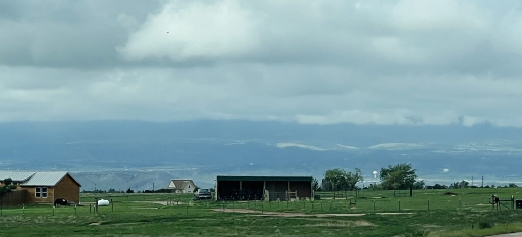
And yet the majestic peaks remained just out of sight behind thick clouds. Their presence was felt rather than seen, and it added a layer of anticipation to our journey. Would we see snow again today? Upon reaching Penrose, the real adventure began. Highway 50 ushered us towards Cañon City through a panorama of geological wonders. The route flirted with cliff edges and canyon walls and snaked its way through rock formations. We were officially in the Southwest. In the unassuming Cañon City we experienced our first thrill of the day.
Skyline Drive
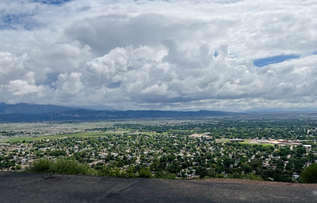
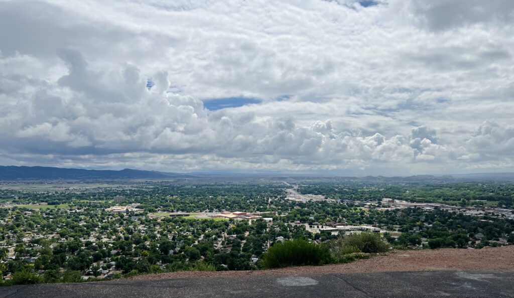
Skyline Drive in Cañon City is a narrow ribbon of road that seems to scoff at the very notion of fear. Ascending from the valley, this single-lane, one-way road clings to the crest of Skyline Ridge and looks out over the city. Driving this winding road is a heart-pounding affair. It teeters along the ridge with nothing but air on either side and no guardrails, which allows an unbridled view of the world beyond. The road was constructed by inmates in the early 1900s, and its steep ascents and sinuous bends are like a rollercoaster.
As we reached the peak, Cañon City unfolded beneath us, tucked into the mountains. The white-knuckled ride had me clinging to the steering wheel, my hands slick with a youthful excitement I hadn't felt in years. The climb was nerve-wracking, but as we reached the summit and the views revealed themselves, all anxiety faded. There the world seemed to pause for a moment. It was more than a mere overlook, and it tied us to the wild beauty of the land.
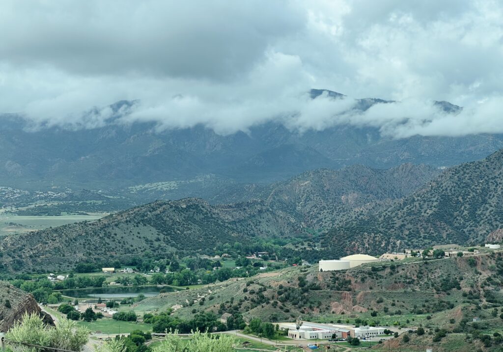
Leaving Cañon City behind, the landscape underwent a transformation. The gentle greenery had given way before Cañon City, and now the rugged desert mountains had closed in. Their jagged peaks cut against the sky as we wound our way to the northern edge of the Sangre de Cristo Mountains. The transition was stark yet beautiful. The snowy peaks and alpine forests returned as we crossed over at Poncha Pass on Hwy 285 and slid down into the San Luis Valley.
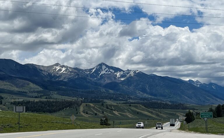
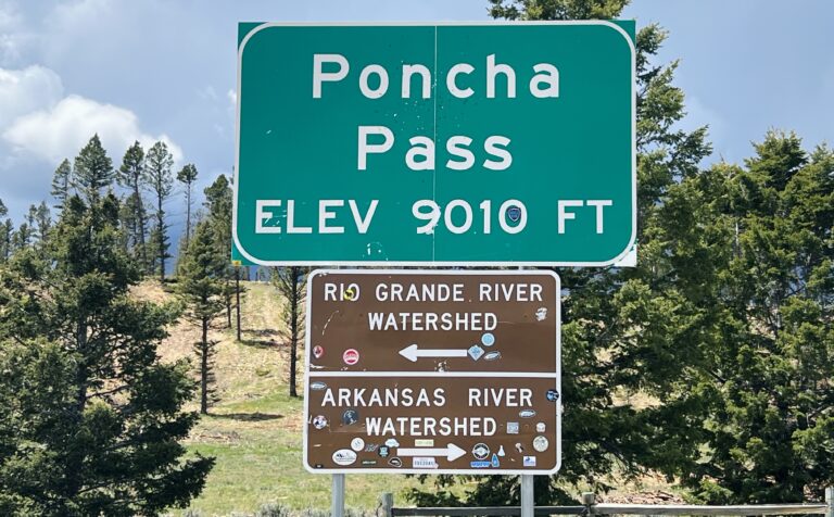
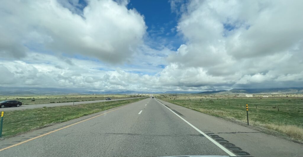
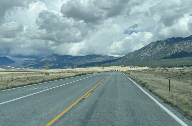
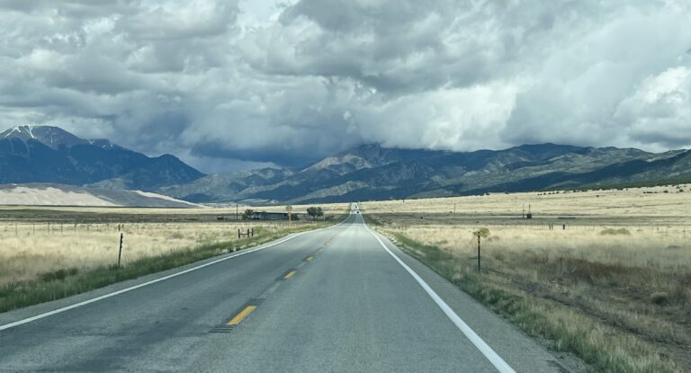
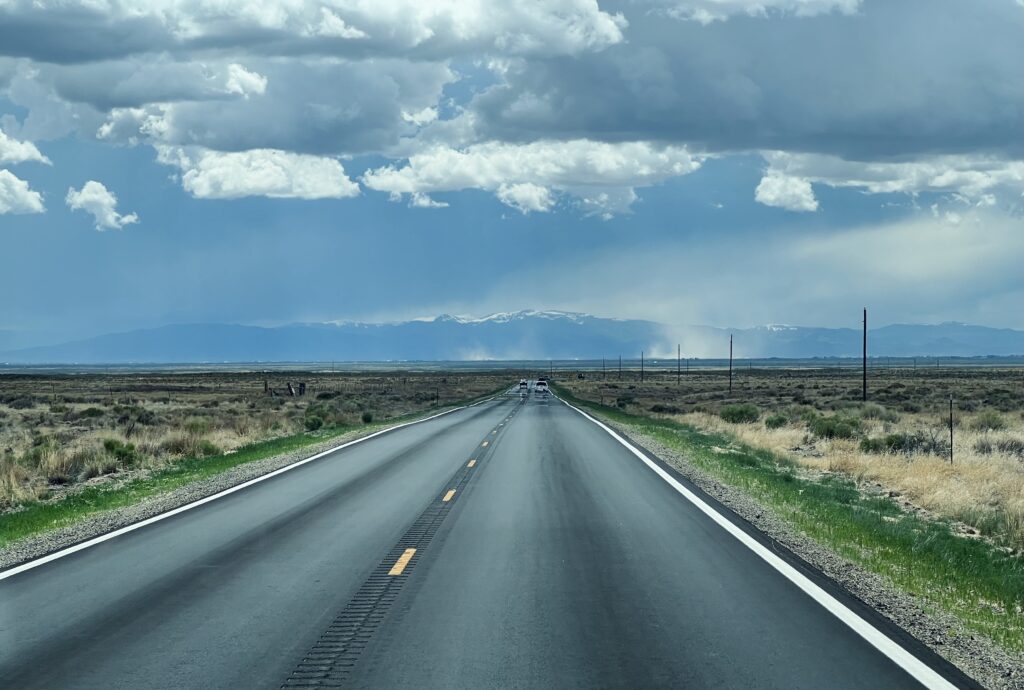
Here the dusty, arid scrublands contrasted sharply with the neat, well-manicured circular fields of irrigated food crops, earth tones against the greens of agriculture. At the valley's northern edge we found ourselves on Hwy 17, a road that seemed to stretch into eternity, a thin unbroken line vanishing at an unseeable spot on the distant horizon.
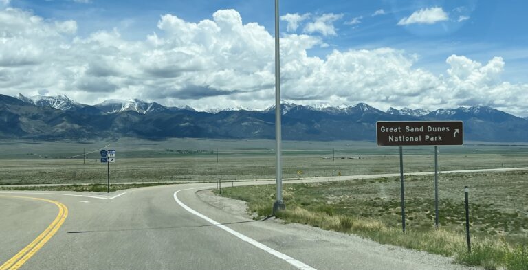
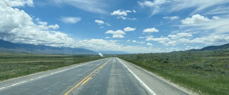
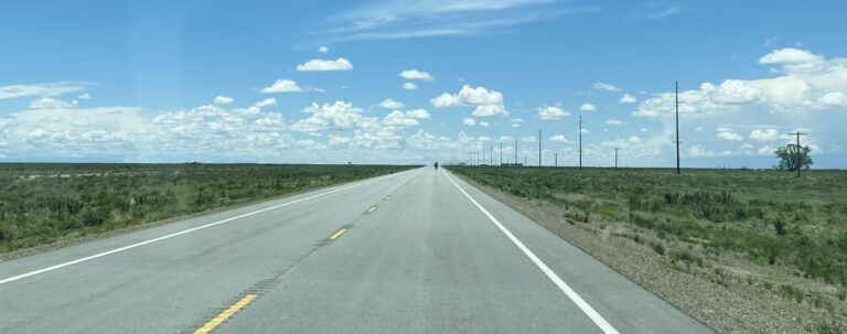
On the eastern slope of Colorado's section of the Continental Divide, the San Luis Valley and thusly the San Luis Closed Basin is a fascinating geographical wonder. Once upon a time, the surrounding mountains directed all of its water into this unique basin, where it was absorbed and lost to evaporation, leaving behind a dry playa beside the Great Sand Dunes. It was a land independent of the Continental Divide. No water came into or out of the basin except by rain or evaporation.
However, in the 1970s a canal was built to divert some of this water toward the Rio Grande. This diversion, known as the Closed Basin Project, changed the basin. A portion of the once dry playa became an intermittent recreational lake, christened San Luis Lake, where visitors could enjoy water-based recreation. Despite these changes, the delicate equilibrium of the Closed Basin is meticulously cared for. The Rio Grande Water Conservation District watches and manages its intricate hydrology so that its natural beauty continues to thrive.
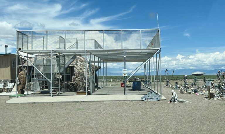
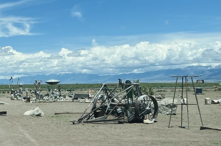
The San Luis Valley is characterized by vast expanses sprinkled with greasewood patches, often affectionately referred to by locals as "chico" or "chico brush," and the terrain has a harsh yet stunning beauty. Here, amidst the sprawling greasewood, lives the southwestern willow flycatcher. A United States endangered subspecies, this delicate bird finds refuge in the basin, and the dry land is a vital breeding ground for it. Halfway down the highway our curiosity was piqued by the kitschy UFO Watchtower, a quirky roadside attraction out in the barren desert. The tower was decorated with an eccentric collection of oddities and relics, all in homage to unidentified flying objects and the unexplored. It was a fleeting but delightful pit stop.
From there, in the vast emptiness of the Valley, we picked up Lane 6 N and headed east. The lone dusty road was framed by wild snow-capped peaks and gentle forested mountains. The stark terrain was a prelude to an awe-inspiring destination, where the sand seemed to moan as it slowly swayed in the ageless winds.
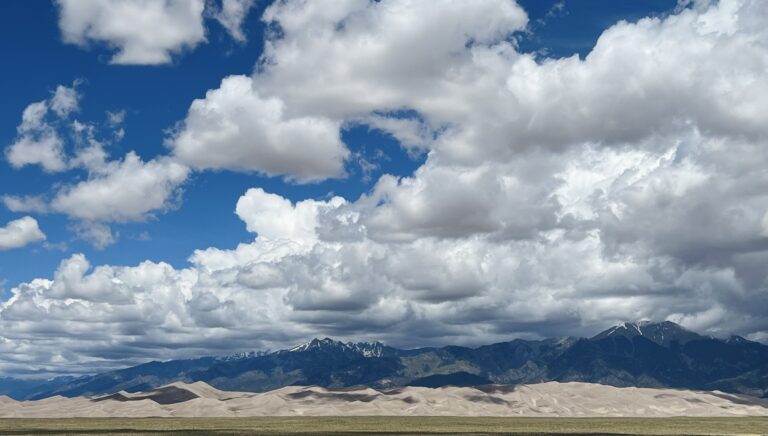
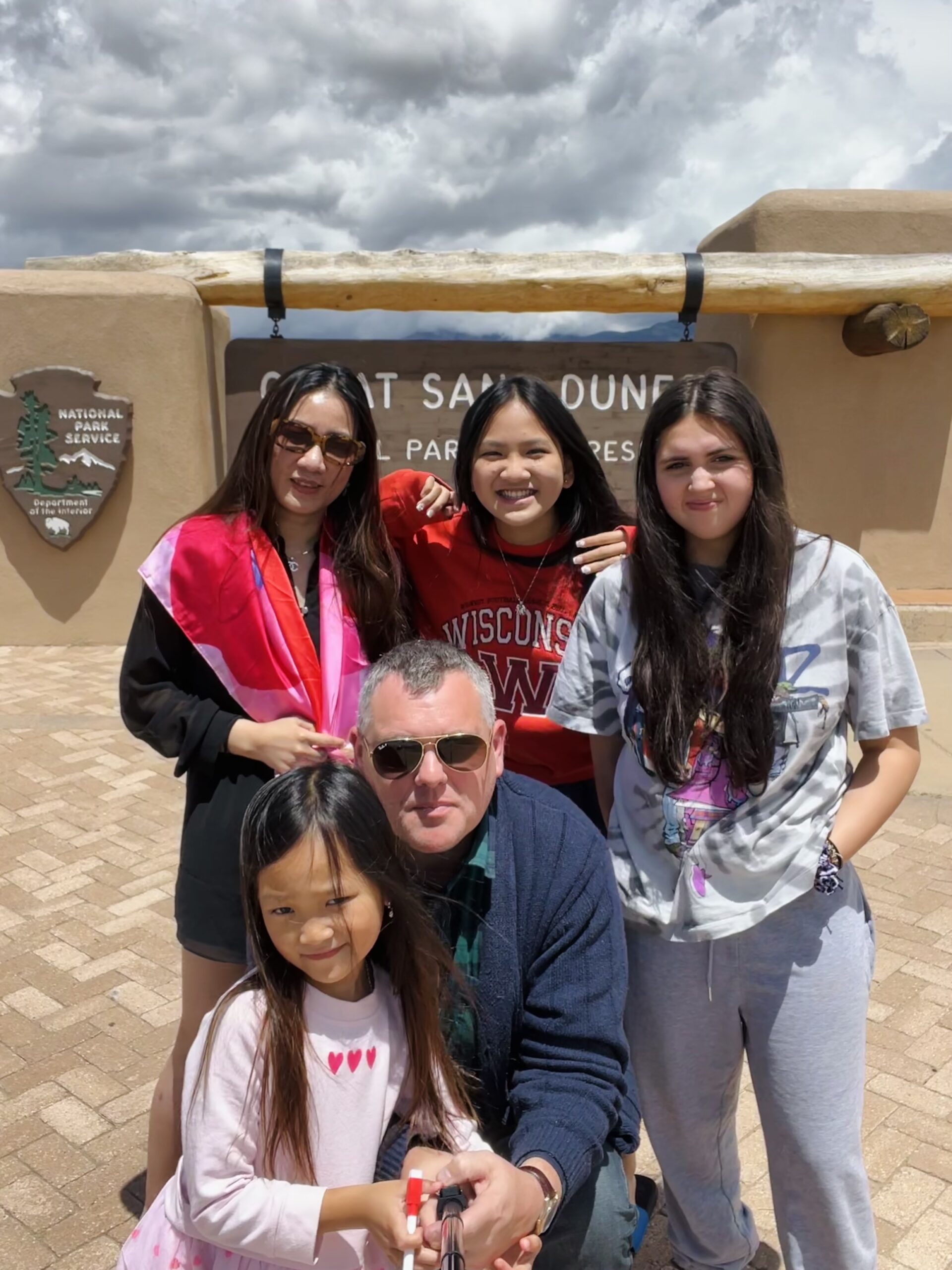
Great Sand Dunes National Park
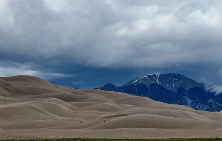
The Great Sand Dunes of North America rise to a staggering height of over 700 feet and are a marvel in the San Luis Valley. Tucked against the Sangre de Cristo Mountain Range, the dunefield encompasses about 30 square miles and holds 1.2 cubic miles of sand. That's enough sand to fill 50,000 of college football's largest stadiums.
The park was officially designated as a national monument in 1932 by President Herbert Hoover and later as a national park in 2004, and it holds a rich history. The Great Sand Dunes' ancient names come from oral tradition. To the Ute they were Saa waap maa nache, or "sand that moves," and the Jicarilla Apaches, settlers of northern New Mexico, knew them as Sei-anyedi, "it goes up and down," a landscape alive with motion. Blanca Peak, southeast of the Dunes, held a sacred spot in Navajo hearts and was named "Sisnaajini."
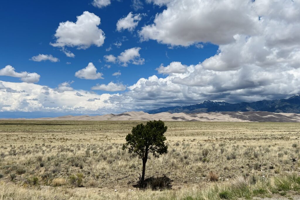
For the Tewa/Tiwa-speaking pueblos along the Rio Grande, the dunes were spiritual touchstones as well as geological wonders. They harbored memories of Sip'ophe, the "Sandy Place Lake," the lake through which their people first emerged. It was thought to be the spring or lake just west of the dune field. The tribes that walked these sands found sustenance and healing in the inner bark of ponderosa pine trees. Ancient Utes sustainably harvested the pines, and many used hundreds of years ago still survive today. They carefully carved sections out of the trees to provide materials for construction, pitch and sap. Its uses ranged from plateware and bowls to food and medicine in the form of drinks and poultices.
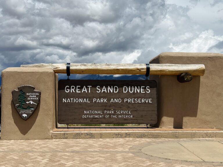
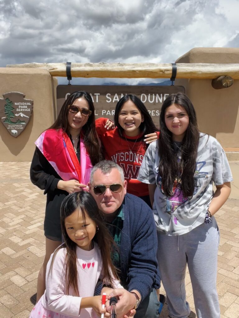
Beyond the Native Americans that hold these lands sacred, modern conservationists and geologists have also spearheaded its preservation efforts, and key figures such as Zebulon Pike and John Wesley Powell contributed to our understanding of this extraordinary place. And though the park is now preserved for future generations, its story is far older than any human inhabitants. The genesis of the valley began with the uplifting of the Sangre de Cristo Range around 5 million years ago, and the volcanic creation of the San Juan Mountains millions of years prior, framing an area roughly the size of Connecticut. Glaciers melted, rains poured and sediment from both ranges filled the valley, interspersed with larger rocks that hint at flash floods.
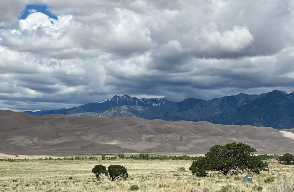
In 2002, the discovery of ancient lakebed deposits gave credence to the theory of Lake Alamosa, a colossal body that once sprawled across the valley floor. It vanished suddenly, breaking through volcanic deposits, forming the Rio Grande Gorge, and leaving behind smaller lakes, sand, and sabkha wetlands. Over time the winds were funneled through three mountain passes, the Mosca, Medano and Music, and accumulated the sand into dunes. The combination of opposing winds, a sand-rich valley floor and the sand-recycling action of creeks like Medano and Sand made these dunes the tallest in North America.
The dune system is stable thanks to balanced wind directions and the underlying moist sand that anchors the formation, and small migrating dunes slowly contribute to the main field. Grasses and shrubs capture some and halt their movement, but much of the drifting sand across the valley ultimately finds its way here. Scientists pin the disappearance of Lake Alamosa at about 440,000 years ago. The dunes, originating from later deposits, are still being studied with methods like optically stimulated luminescence (OSL) to date these incredible formations. These OSL studies indicate sand deposits ranging from several thousand to tens of thousands of years old, which marks them as late Pleistocene epoch creations.
Among the fine grains of sand there's also a magnetic touch. Deposits of magnetite, eroded from the Sangre de Cristo Range, create dark patches within the dune field, and it is the most magnetic of minerals. Exploring the massive dunes, we felt humbled by the scale of nature's artistry. The Medano Creek, also known as the braided creek, is created by mountain runoff and hugs the dunes on its silvery path from the peaks to the desert prairie beyond. It supports a diverse array of life from insects to birds and even large herbivores.
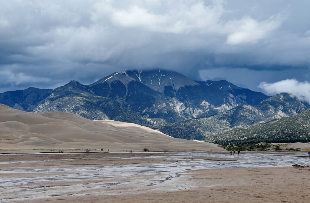
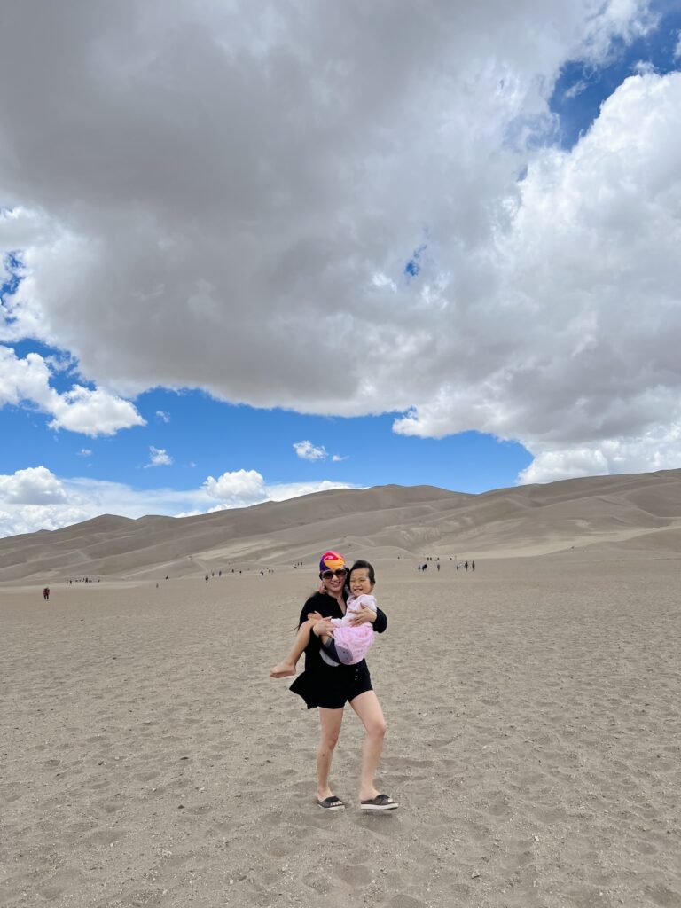
This place made me pause and reflect. We were standing amidst a history painted by time, wind and water. As I stood, feet wet from the braided creek that flows past, staring up at the massive dunes, it felt like we were in a fantasy novel. It was an astonishingly beautiful and dynamic part of the world, and we were merely transient observers.
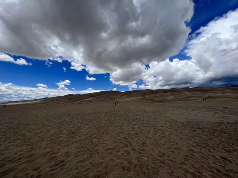
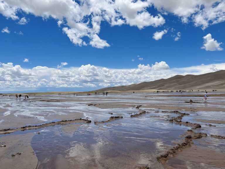
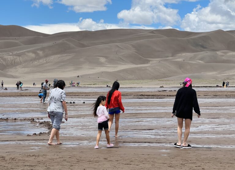
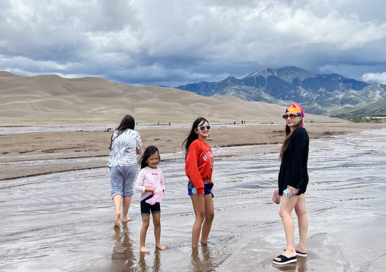
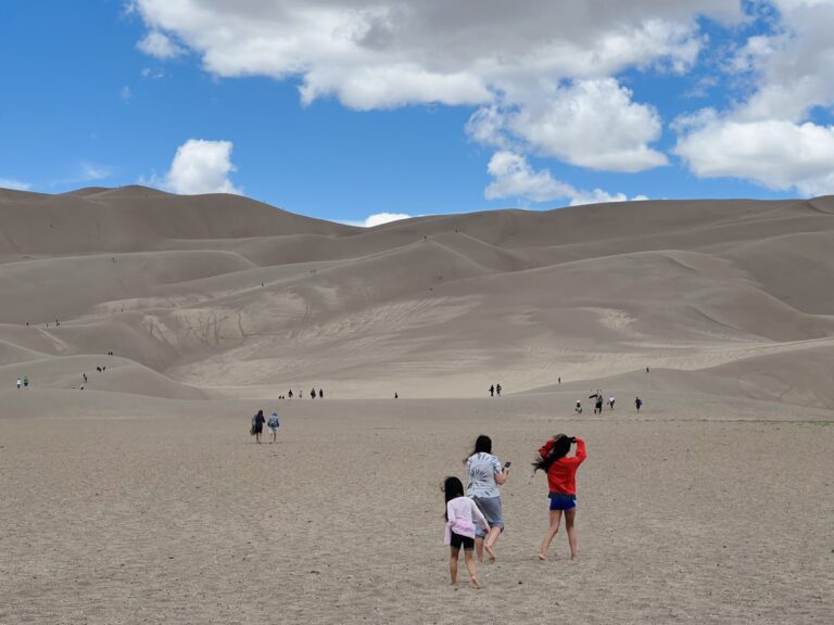
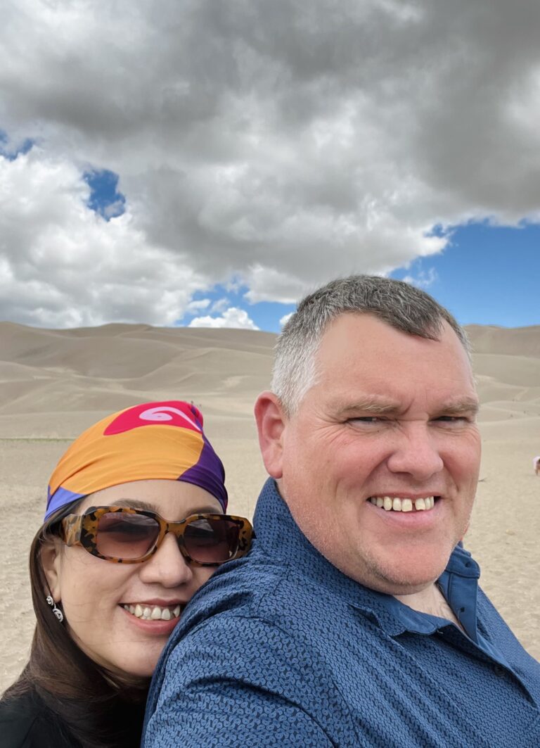
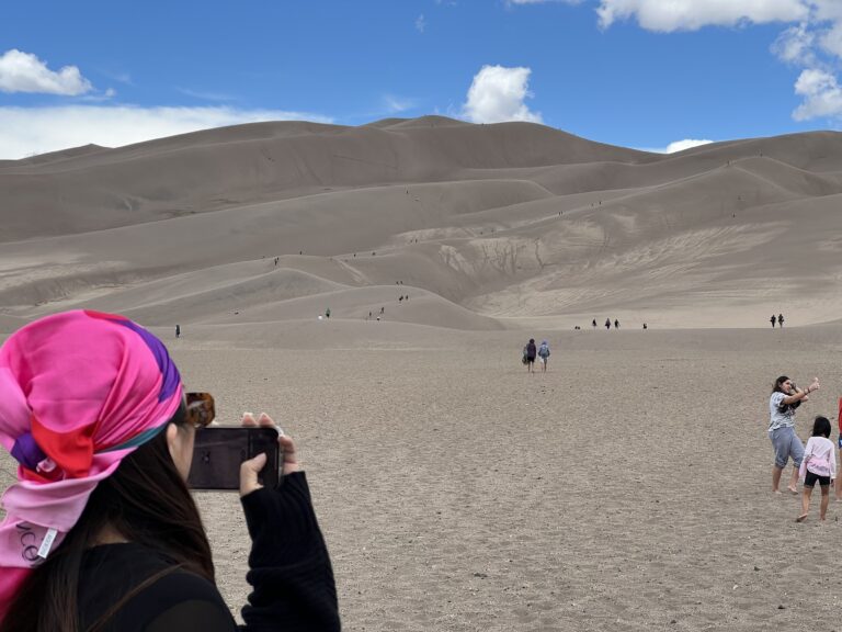
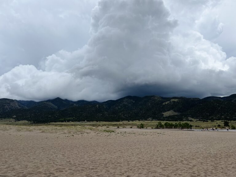
Our exploration was cut short by a storm lashing up over the mountains, and its sudden violence turned the already sand-swept air into a stinging barrage. The girls' complaints pulled us back, and we retreated. As we reached the van, a soft rain began to fall and washed away the sands.
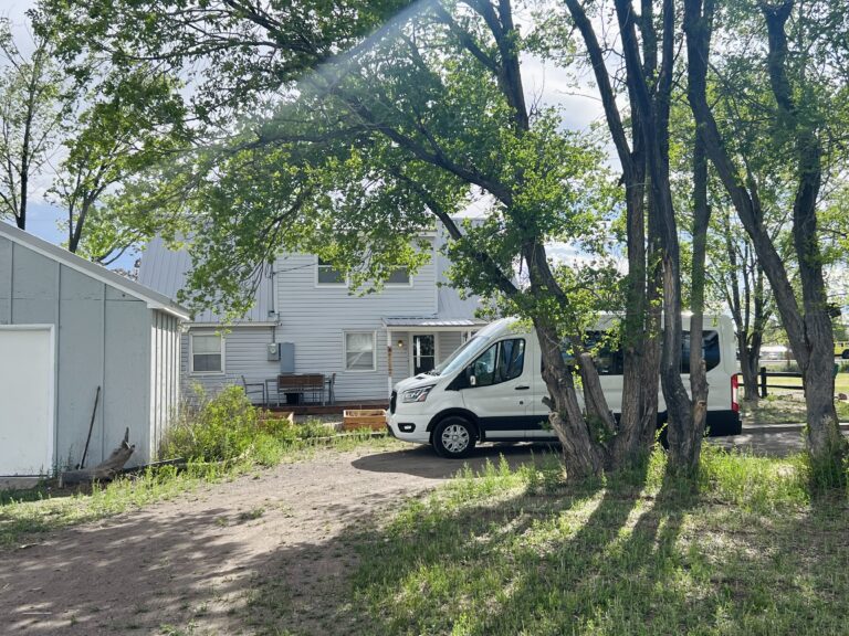
A quaint little farmhouse, Somewhere, Colorado.
We headed to our Airbnb, a little farmhouse near Alamosa and our temporary home amid the wonders of Colorado. Set between vast landscapes, this rustic dwelling offered a respite from the day's explorations. Energized by the day's events, Diem and I went to a local Safeway to gather supplies for a feast.
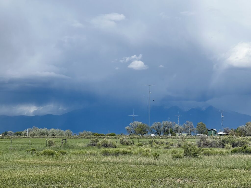
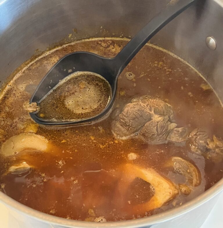
Day 6 of our journey was drawing to a close, yet the excitement lingered, with the glow of the day still fresh on our faces and the aromas of the surrounding land still playing on our senses. It was our first rental of the trip with a full kitchen, and it was the perfect stage to throw down a delicious dinner. It was an inviting kitchen, the heart of this quaint little farmhouse, with worn wooden counters that had seen many a meal prepared. I found myself lost in my culinary convictions, with the confit bubbling away and the sizzle of the grill and the rich flavors mingling with the sound of laughter from our children. Diem transformed a few simple ingredients into a traditional bún bò Huế.
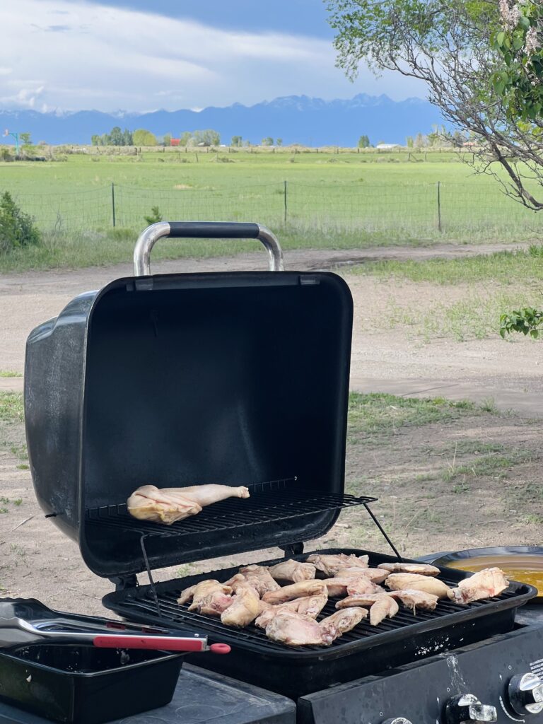

Through the back door, the massive dunes sat beset before the Sangre de Cristo mountains. I stood at the grill, listening to the gentle clinking of the wind chimes. The dunes, the focus of our awe earlier, now served as a backdrop to our familial warmth.
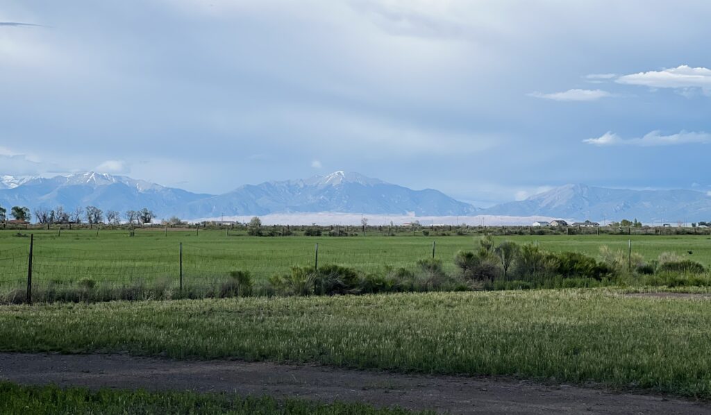
As we sat down to relish our meal, the glow of the setting sun added to the ambiance. It felt like the essence of Colorado had seeped into our very being, and the grill had an incredible view.




In the cool evening, with the stars beginning to come out, I pondered our little feast. It was a fitting end to a day of thrills and sights in a land that refused to be tamed. The food, the laughter and the comfort of the little farmhouse became part of our story. It felt like we had entered the heart of our trip. Tomorrow would be day seven, with a quarter of our journey almost behind us. It had been another incredible day of adventure and exploration as we continued our improbable journey across the expanses of America, beneath an endless sky.
It had been another incredible day of adventure and exploration as we continued our improbable journey across the expanses of America, beneath an endless sky.
To explore some of the Parks and Monuments we've explored and more, click here for the National Park Service.